|
⇒ Welcome ⇒ e-mail contact | ||
| ||
| ||
| ||
|
⇒ Cover ⇒ Preface ⇒ Introduction ⇒ The visit ⇒ Weymouth map c.1930 ⇒ Portland map c.1930 ⇒ Works quoted ⇒ Postface |

|
A visit to Weymouth with John Cowper Powys [ ⇒ continue... ] | |
DORSET and Weymouth | |
|
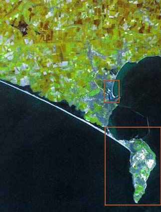
You may continue on the guided tour of Weymouth and Portland set up in the following pages, or you may choose to click on the red rectangles and go to the maps of Weymouth and Portland showing the locations and in which directions most of the photographs were taken. Extra information is sometimes available behind the photographs or in footnotes. Please note that in all the Weymouth maps, both the overall map and partial maps, the North-South axis is horizontal with the north on the right. |
[ ⇒ continue... ] |